Monday Morning Update
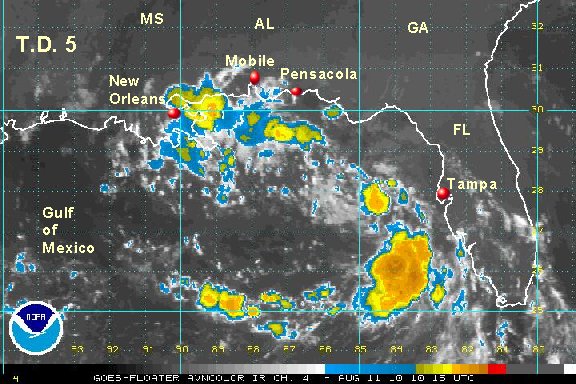
Tropical depression 5 reorganizing
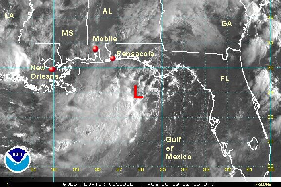
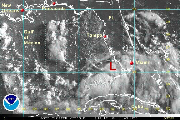
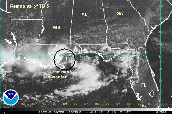
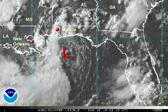
After spending a few days inland across Alabama and Georgia, the remnants of tropical depression 5 are coming back to life. The low pressure area moved south yesterday and now is a little over 100 miles south of the Florida panhandle. Deep convection is building and conditions look favorable for some strengthening before landfall within 24 hours.
As of 9 am edt. regenerating tropical depression 5 was centered near 29.0 N / 86.3 W or about 115 miles south southeast of Destin Florida / 165 miles east of the mouth of the Mississippi. Motion is to the west at about 5 mph. Top sustained winds are estimated at 20 mph. Pressure is estimated at 1010 mb.
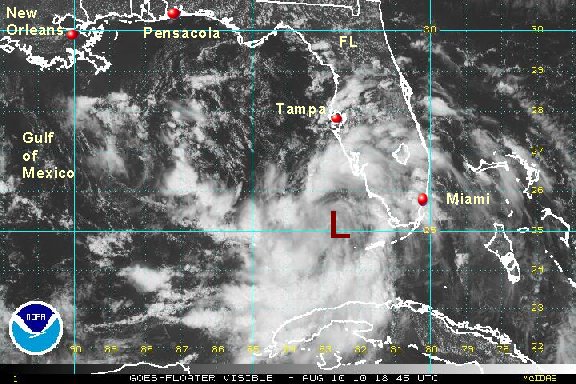
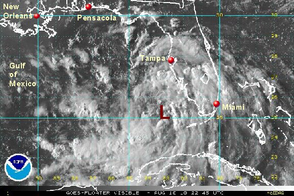
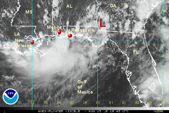
Forecasts take this low pressure system toward the southern coast of Mississippi / southeastern Louisiana over the next 24 hours. With less than 24 hours over water, remnants of td 5 will only be able to strengthen some.... perhaps into a minimal tropical storm.

Interests from the Florida panhandle, southern Alabama, southern Mississippi, Louisiana, and the upper Texas coast should follow the latest on the remnants of tropical depression 5.
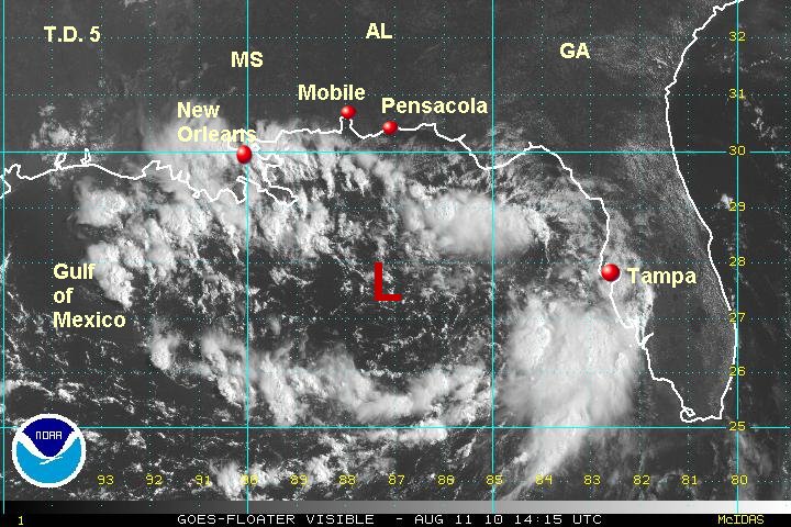
Tropicast: Visible Floater Satellite