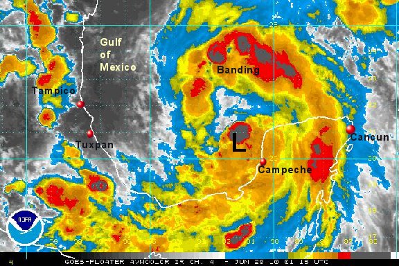
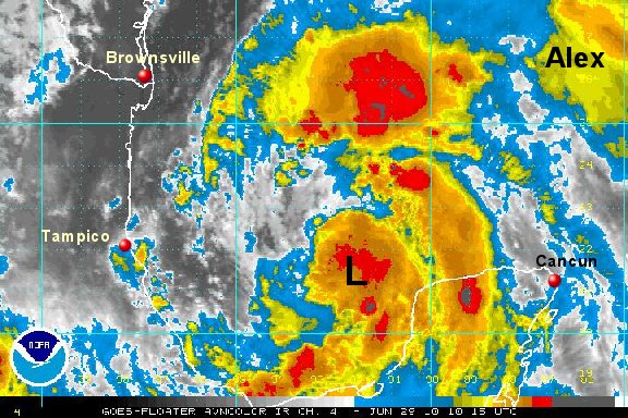
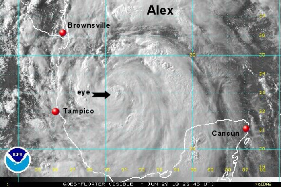
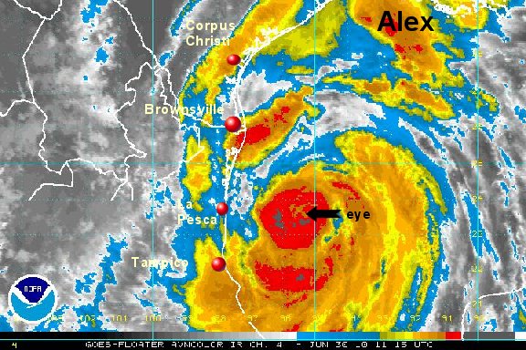
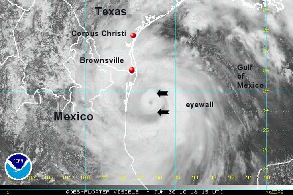
Alex organizing - will be stronger soon
A Hurricane Hunter aircraft has noted a surface wind of 42 knots. Because of this were staying with 50 mph as a reasonable estimate of sustained surface winds. The pressure has dropped 3 mb, indicating that we are about to see the next strengthening phase. Deep convection near the surface low as well as strong banding support this also. We will likely see a stronger Alex by tomorrow morning and Alex may be a hurricane by later Tuesday.
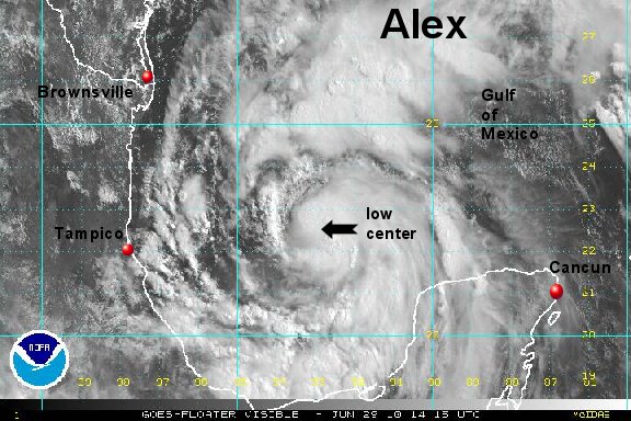
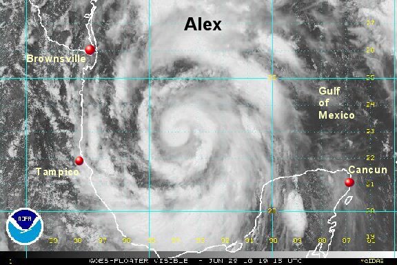
At 10 pm edt / 9 pm cdt Alex was centered at 20.6° N / 91.6° W or about 525 miles southeast of Brownsville, Texas. It is moving little. Top sustained winds 50 mph (60 mph NHC). Pressure is 987 mb.
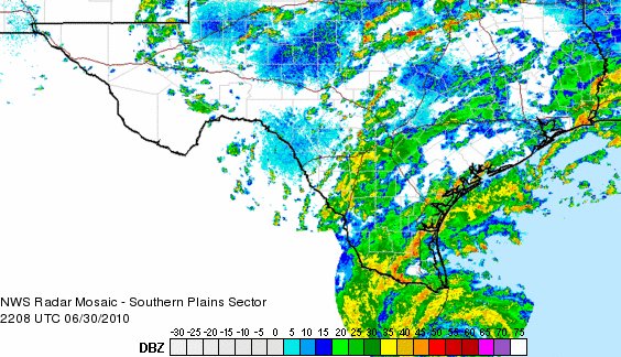
Forecast models take Alex generally northwest for the next two days. Forecast models still have a landfall range between northern Mexico and south Texas Wednesday.
Tropicast: I.R. Floater Satellite