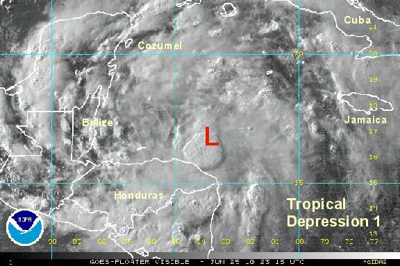
Sunday Morning Update
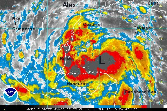
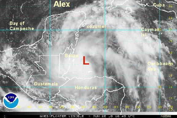
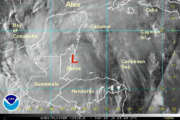
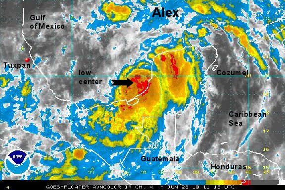
Alex staying well organized over land
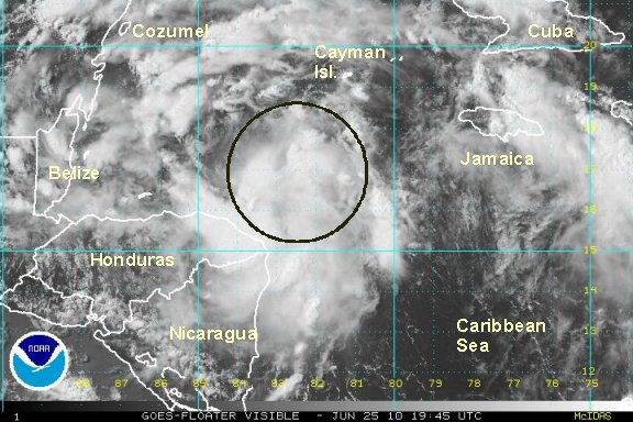
Alex has held together remarkable well overnight. The center of circulation is still holding together and should be over water again by this afternoon. Because of the little damage done to the structure while over land, we expect Alex to restrengthen quickly and most likely become a hurricane before its second landfall on the northeastern coast of Mexico in a few days.
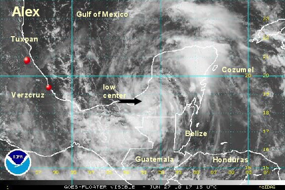
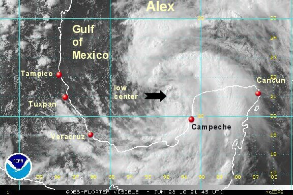
At 8 am edt / 7 am cdt Alex was centered at 18.4° N / 89.9° W or about 110 miles south southeast of Campeche, Mexico . It is moving west northwest at 12 mph. Top sustained winds are 40 mph (NHC 40 mph). Pressure is 996 mb.
A heavy band of rain continues south of the resort areas of Cozumel and Cancun, although a smaller band is near both locations. Rainfall amounts of 5-10 inches + is possible from tropical storm Alex.
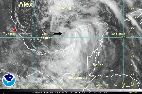
Forecast models have not changed much taking Alex into northeastern Mexico, south of the Texas border by the middle of this week - about 3-4 days from now.

All interests from the Yucatan peninsula to northeastern Mexico and extreme southern Texas should follow Alex closely.
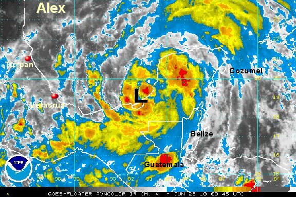
Tropicast: I.R. Floater Satellite
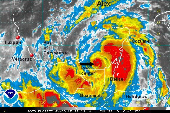 Tropicast: Belize Radar