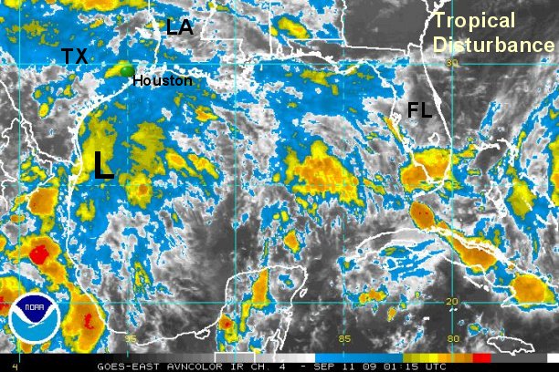
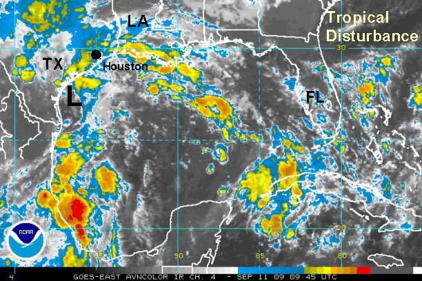
Unsettled weather in western Gulf
A large area of showers and thundershowers cover the western Gulf. Forecast models have been persistent in developing a low east of the Texas coast then rapidly move the low northward toward the upper Texas coast or western Louisiana coast by Saturday afternoon. It appears that the several hours before landfall will be the window of opportunity for development - late Friday Night into early Saturday afternoon.
There is a chance that this system could develop into a tropical depression / tropical storm before moving on land. Regardless if it does or not, locally heavy rainfall of several inches may occur. Rainfall will likely be the greatest impact with the potential of flash flooding.
Tropicast: Gulf of Mexico I.R. Floater Satellite (8:15 pm cdt )