Thursday Night Update
Shear increases again
Just as Bill began a strengthening phase, wind shear picked up. This has weakened Bill.
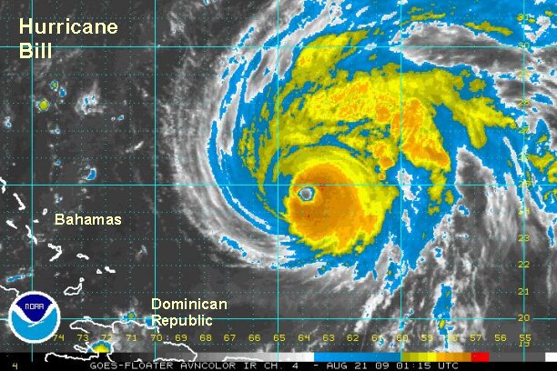
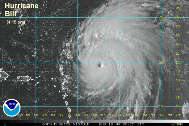
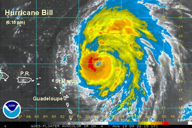
At 10:00 pm edt / ast Bill was centered near 24.9° N / 64.0 W or about 520 miles south of Bermuda. Movement is northwest at about 17 mph. We estimate top sustained winds of 115 mph. So far with Bill, we have been in very good agreement with the Hurricane Center's wind estimates. Lowest pressure reported from the recon: 948 mb.
Effects: Scattered showers and storms are in the Leewards are starting to fade away. Expect rough surf on the eastern U.S. coast, Bermuda, Leewards, and eastern Canada coast from swell produced by Bill.
Some gusty winds and locally heavy rain may brush Cape Cod Saturday night and Sunday morning. These effects will move into down east Maine early Sunday and last most of the day. Nova Scotia will get very windy weather, rough seas as well as heavy rain during the day Sunday. Newfoundland will see the worst weather Sunday night and into early Monday. The worst of this hurricane appears to be headed to southern Nova Scotia and Newfoundland. This is the region of greatest concern.
In general this is what forecast models predict to happen:
Late Friday Night / Early Saturday Morning: moving west of Bermuda by about 150 miles.
Saturday: Well east of Cape Hatteras, NC - 250-350 miles
Early Sunday: Passing 100-250 miles east of Cape Cod. (forecast models diverge here again)
Sunday: Over Nova Scotia or just offshore.
Sunday late: near the central /east coast of Nova Scotia, Canada.
Overnight Sunday / early Monday: near Newfoundland, Canada.
Down the road...Bill will transform into a large north Atlantic gale and may bring nasty weather to Europe.
Bill will accelerate as it is picked up by a strong upper trough on the east coast. It will rapidly move past eastern Canada Sunday and Sunday night.

There are many travelers taking cruises concerned about the effects of Bill. This will be determined by the route of the cruise ship which will try to avoid Bill. This makes it impossible for us to predict exact conditions that will be experienced.
Bermuda / Eastern Canada / Eastern New England: Make sure that your hurricane preparedness plan is ready to go. Here are a few suggestions:
Hurricane Preparedness:
http://www.tropicalweather.net/plan.htm
Preseason Hurricane Preparedness:
http://www.tropicalweather.net/hurrican ... dness.html
Other Hurricane Articles:
http://www.tropicalweather.net/hurricane_articles.htm
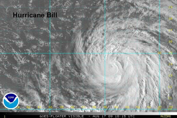
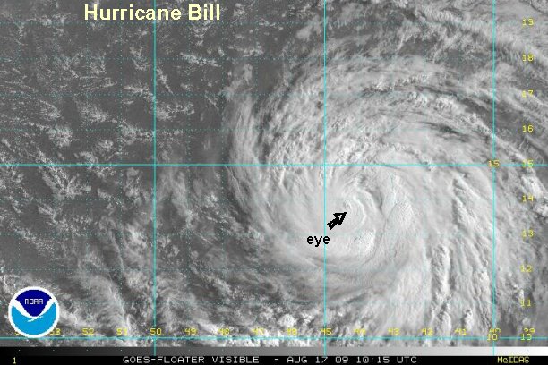
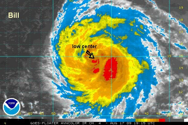
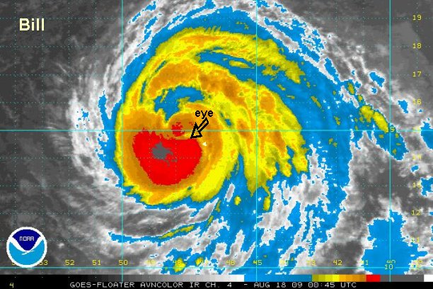
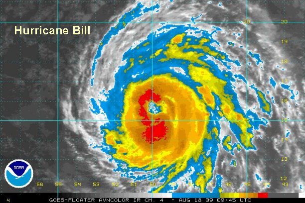
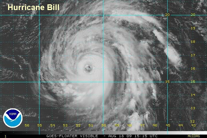
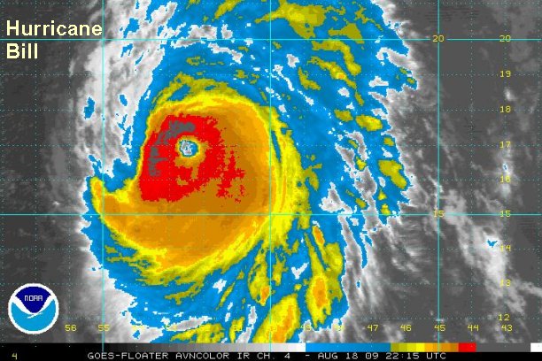
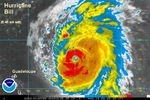
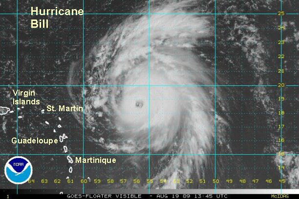
Tropicast: Atlantic Floater I.R. Satellite - (9:15 pm edt)